AtlasLog in

The world’s people, taken apart.

AP Human Geography

7 chapters
No. 018 pages

Thinking geographically
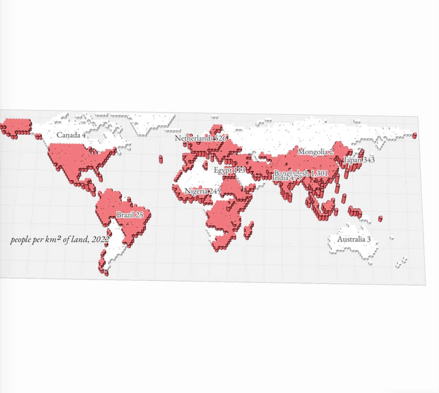
The world’s countries raised by population density, from the near-empty north and deserts to the crowded plains of South and East Asia
No. 0213 pages

Population and migration
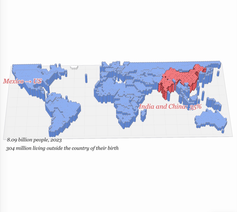
The world as paper relief, each country raised by its population density, with India and China in red and migrants walking the Mexico–US corridor
No. 039 pages

Cultural patterns and processes
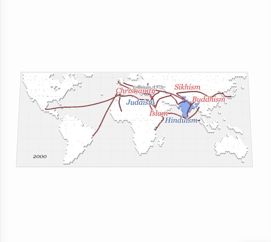
A world map of the hearths of the major religions, with the paths of Buddhism, Christianity, Islam and Sikhism spreading out from them and the ethnic religions, Hinduism and Judaism, staying near home
No. 0411 pages

Political patterns and processes
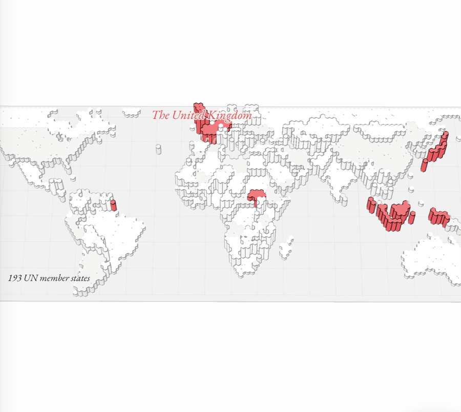
A political map of the world raised in paper relief, every boundary inked, with the United Kingdom, France, Germany, Japan, Indonesia and South Sudan picked out in red
No. 0513 pages

Agriculture and rural land use
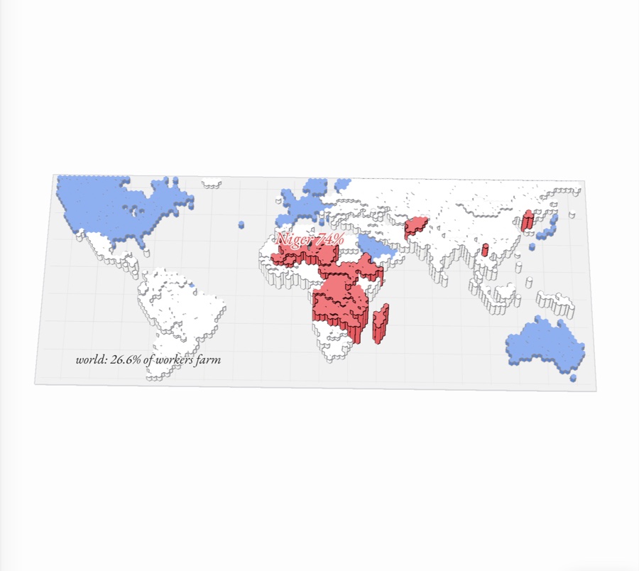
A paper-relief world map with each country raised by the share of its workers in agriculture, sub-Saharan Africa standing tall in red, the rich world flat in blue, and a pin reading Niger 74%
No. 0612 pages

Cities and urban land use
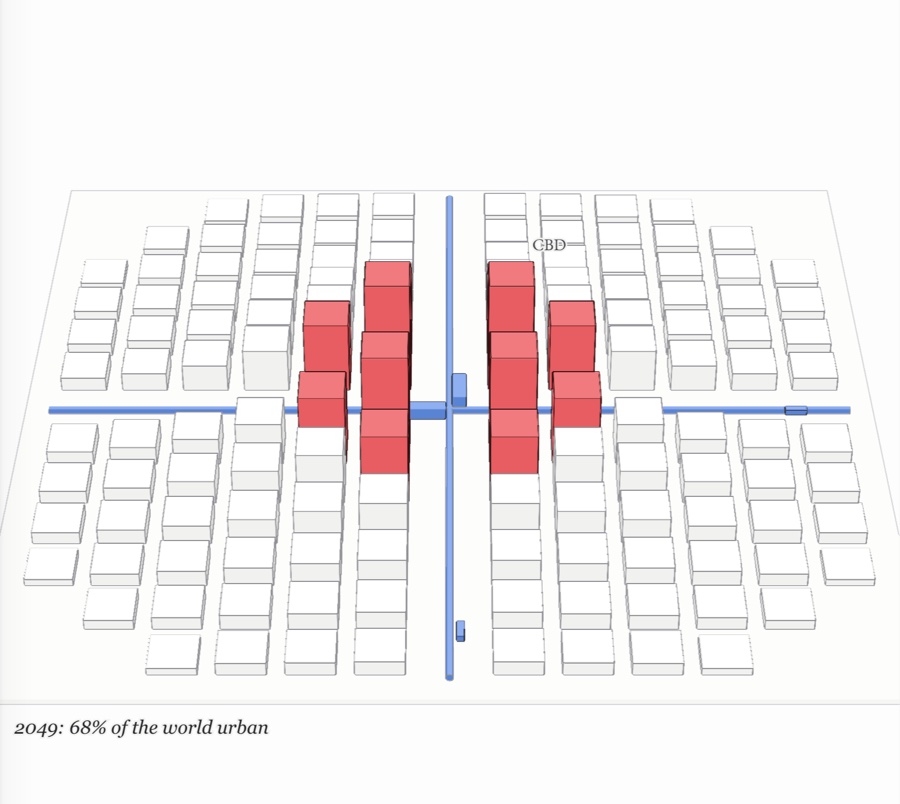
A hypothetical city of paper blocks crossed by two blue rail lines, its red central business district standing tallest at the center
No. 079 pages

Industrial and economic development
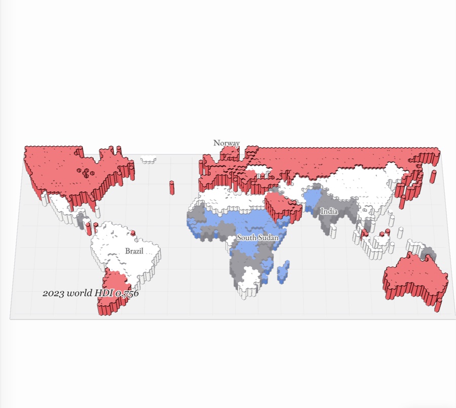
Every country on a paper world map raised to its Human Development Index in 2023, the very high ones standing red across North America, Europe and Australia and the low ones blue, most of them in Africa