AtlasLog in

America, taken apart.

Learn each period with in-depth visuals and explanations

AP US History

9 chapters
No. 017 pages

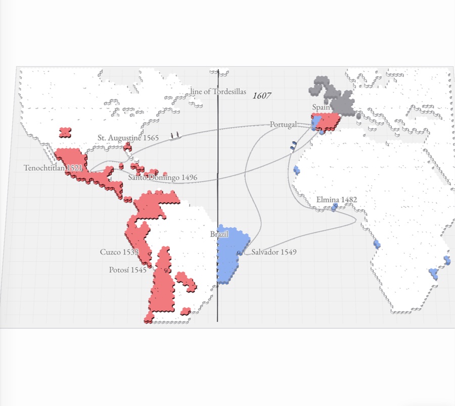
Contact and conquest

1491–1607 The Atlantic world as a paper relief map: Spain’s American empire raised in red from Mexico to Chile, Portugal’s Brazil in blue east of the Tordesillas line, Portuguese forts along the African coast, and fleets crossing the ocean
No. 028 pages

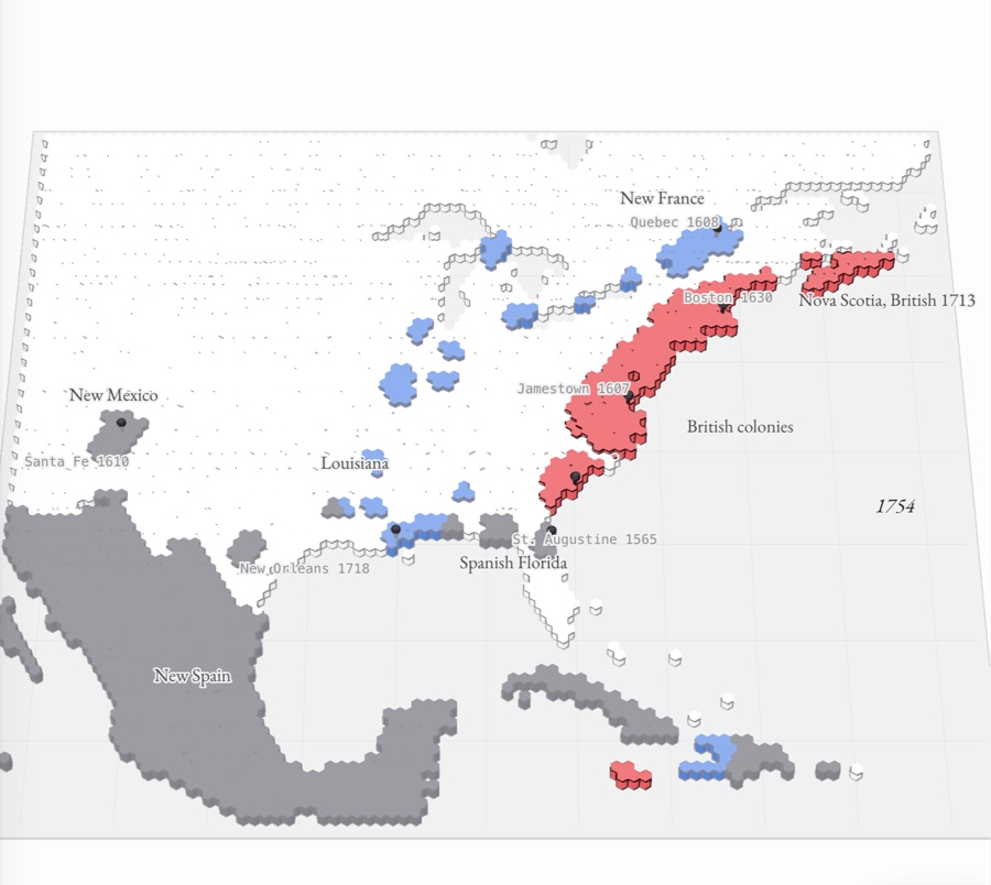
Colonial America

1607–1754 A relief map of North America in 1754: red English colonies along the Atlantic coast, blue French posts along the St. Lawrence, Great Lakes and Mississippi, and gray Spanish lands in Mexico, the Caribbean, Florida and New Mexico
No. 0313 pages

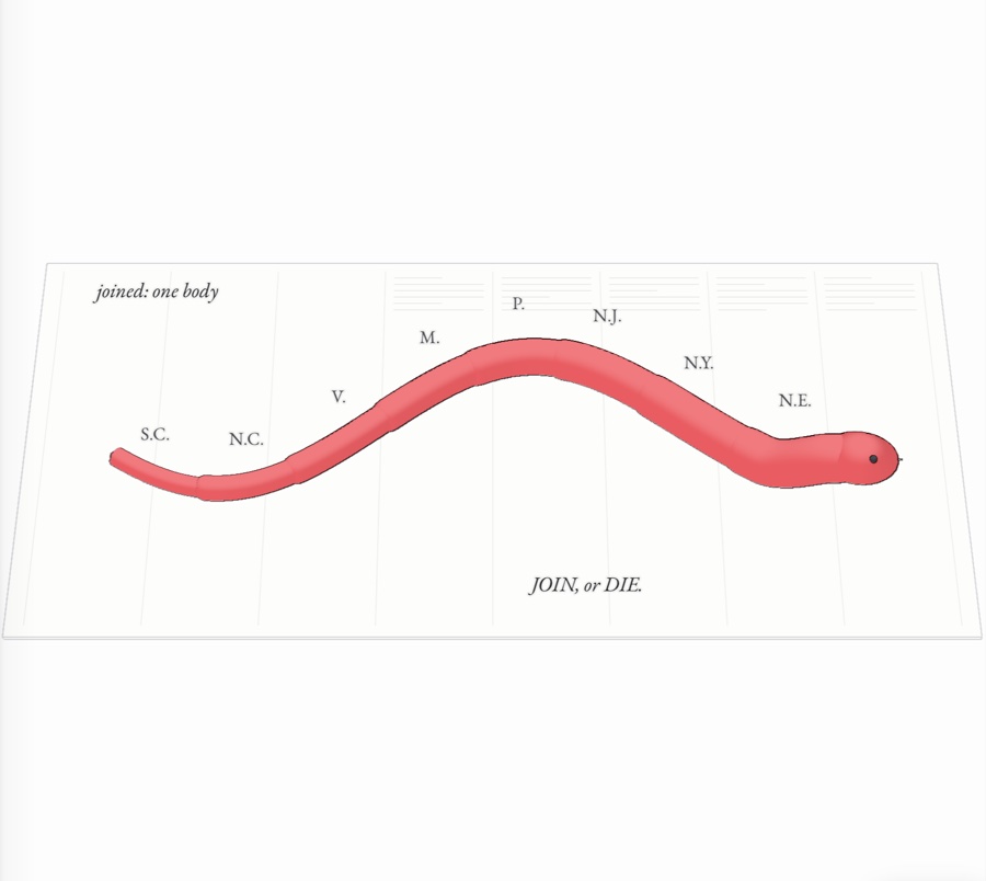
Revolution and the Constitution

1754–1800 Franklin’s “Join, or Die” snake in eight red paper pieces, labeled N.E. to S.C., sliding together into one body on a newspaper page
No. 0414 pages

The early republic

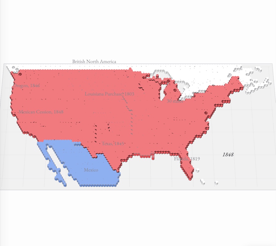
1800–1848 A hex-tile map of North America in which the United States, in red, grows west through the Louisiana Purchase, Florida, Texas, Oregon and the Mexican Cession, against blue Spanish and Mexican lands
No. 0512 pages

Civil War and Reconstruction

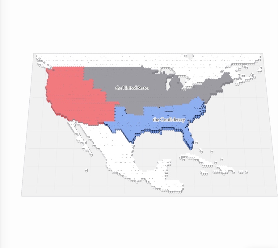
1844–1877 The United States from 1844 to 1877 in paper relief: the nation grows to the Pacific in red, the Confederacy rises in blue, and Union-held land spreads through it until the states are readmitted
No. 0614 pages

The Gilded Age

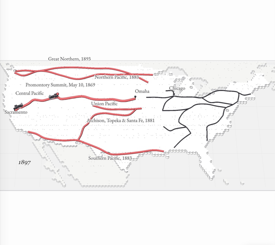
1865–1898 A paper-relief map of the United States with the Union Pacific and Central Pacific joined at Promontory Summit and red transcontinental lines spreading across the West, beside the dense network of the East
No. 0715 pages

Empire, war and depression

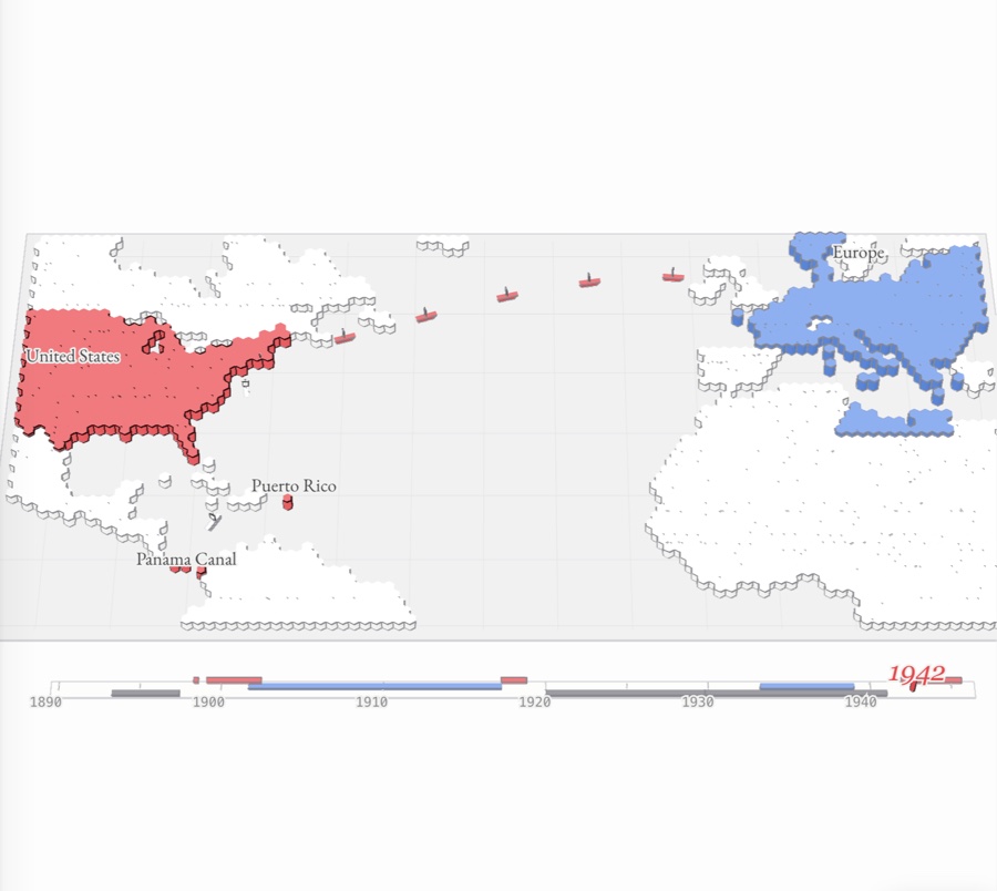
1890–1945 The Atlantic world as hex relief: the United States in red with Puerto Rico and the Panama Canal Zone, Axis-held Europe in blue, and convoys of red ships crossing the ocean, above a 1890–1945 timeline
No. 0815 pages

Cold War and civil rights

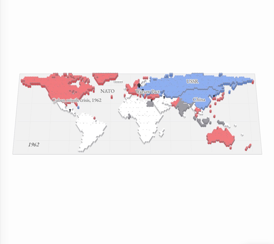
1945–1980 A world map in paper relief: the United States, Western Europe and their treaty allies raised in red, the Soviet Union, Eastern Europe and China in blue, the nonaligned states in gray, with pins marking the Cold War’s crises
No. 097 pages

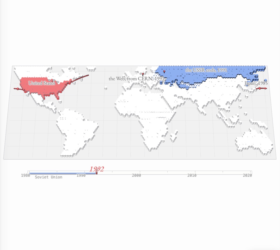
Conservatism and a global age

1980–present A hex-tile map of the world in 1990: the United States raised in red, the Soviet Union and Eastern Europe in blue as they sink away, and red trade links arcing out across the Atlantic and Pacific